 vesseltracker.com
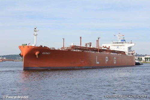
Vessel BW PINE IMO: 9479929, MMSI: 419001637 LPG Tanker
UTC, 8.16634, 75.78693, course: 334, speed: 13.2
UTC, 8.16634, 75.78693, course: 334, speed: 13.2
2026-03-04 13:53:00 UTC, 9.80425, 75.92252, course: -1, speed: 14.8
Live Vessel BW PINE Analytics (details, animations, etc.)
Live AIS position: UTC. 21 nm W of Thoppumpady), updated 2026-03-04 13:53:00 UTC.Find the position of the vessel BW PINE on the map. The latter are known coordinates and path.
marine traffic ship tracker show on live map
The current position of vessel BW PINE is 9.80425 lat / 75.92252 lng. Updated: 2026-03-04 13:53:00 UTCCurrently sailing under the flag of India
BW PINE built in 2011 year
Deadweight:
53028 tDetails:
Last coordinates of the vessel:
UTC, 8.16634, 75.78693, course: 334, speed: 13.2UTC, 8.16634, 75.78693, course: 334, speed: 13.2
UTC, 8.16634, 75.78693, course: 334, speed: 13.2
2026-03-04 13:53:00 UTC, 9.80425, 75.92252, course: -1, speed: 14.8